
What Florida’s drought means for hurricane season
Florida is experiencing one of its worst droughts in decades, causing widespread wildfires and evacuation orders in large swaths of the state.
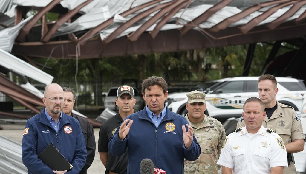
Republican Gov. Ron DeSantis recently offered a possible silver lining.
“They do say, that when you have droughts, that the hurricane seasons tend to be less active,” DeSantis said at an April 22 event in Jacksonville. “I don’t know if that’s true. I don’t know if that’s an old wives’ tale. I don’t know if there’s data to back it up, but people do say that, and so I guess we shall see what that means for this season coming up.”
Over half of Florida is in an “extreme drought,” as classified by the U.S. Drought Monitor, and about 22% of the state is in an “exceptional drought,” the system’s highest level.
Meteorologists and climate experts told PolitiFact that droughts do not directly affect hurricane season, but people sometimes conflate the two as they can occur at the same time under certain conditions.
“There actually isn’t any basis for that,” Andy Hazleton, an associate scientist at the University of Miami Cooperative Institute for Marine & Atmospheric Studies, said. “Sometimes, drought can be associated with La Niña winters, which we just had, and La Niña tends to favor more hurricanes. We’re heading into an El Niño, which will likely mean fewer hurricanes but a wetter winter in Florida.”
La Niña is a climate pattern characterized by unusually cold ocean surface temperatures with less wind shear, while El Niño refers to a pattern of unusually warm ocean temperatures with higher wind shear.
Hurricane seasons are driven primarily by the Atlantic basin’s sea surface temperatures and wind shear, Hazleton said. (The basin includes the Gulf of Mexico and Caribbean Sea.) Warm waters act as a fuel source, providing tropical systems with heat energy, and low wind shear acts as a stabilizer, allowing storms to build without being torn apart.
But drought doesn’t always lead to fewer hurricanes, experts said. Sometimes La Niña causes drought in the winter then lingers to create an active hurricane season because it keeps high wind shear away.
The 1998 hurricane season is one example of drought and fewer hurricanes not aligning, meteorologists said.
That year, Florida, Texas and Louisiana had record-low rainfall and record-high temperatures, leading to wildfires. The Atlantic hurricane season was particularly active, producing 14 named storms, including 10 hurricanes. Experts noted the drought was initially fueled by a strong El Niño, but as the hurricane season progressed, the transition to La Niña reduced wind shear, allowing for more hurricane activity.
For the coming hurricane season that begins June 1, Florida is heading into a strong El Niño weather pattern, which could mean a quieter season.
“Big El Niño’s make a big difference!” Jeff Berardelli, WFLA Tampa Bay’s chief meteorologist and climate specialist wrote April 24 on X, explaining that weaker El Ninos have led to major hurricanes. “This #hurricane season may defy the odds, but odds are for a ‘relatively’ quieter season. Nevertheless, we always say, ‘it only takes one,’ so be prepared!”
Berardelli said the strongest El Niño episodes dating back to 1972 have correlated with a substantial decrease in hurricane activity — about 40% fewer storms than average.
There’s more of a connection between droughts and hurricanes when dry weather occurs in Africa, Hazleton said, because it inhibits thunderstorm clusters that move off the country’s coast from forming into Atlantic tropical cyclones. “That can have an impact on the hurricane seasons,” he said, “but it’s not an easy one-to-one connection.”
A persistent drought could bring more problems if a hurricane makes landfall.
Dry conditions can weaken tree roots, making them more prone to falling or breaking in strong winds. Dry soil makes water absorption difficult, which can lead to erosion and a higher risk of flooding.
RELATED: Ron DeSantis dismisses climate change link to stronger hurricanes. Here’s what the science says.


